
Champlin Neighbors Block Sources
Each source describes a different layer of a Champlin block. The parcel viewer shows the geometry and nearby parcel references visible on the map. PINS can identify the parcel, legal description, assessment and sales or recent-record history. RecordEASE can show a recorded chain. City project pages provide dated work and assessment context. Historical directories or census records can place a household at an address in a particular year. None turns into a complete current household list.
| Block source | What it can show near an address | Access and limit |
|---|---|---|
| Hennepin GIS Property Map | Parcel geometry, map context, and linked PID or address as exposed. | Interactive public map; map proximity is not occupancy or a personal relationship. |
| Hennepin PINS | PID, legal description, assessment, sales, and recent-record history. | Public property route; owner, taxpayer, and mailing fields do not prove occupant status. |
| RecordEASE | Grantor, grantee, recording, and instrument context for a parcel chain. | Public entry is limited; images or deeper tools can require the Research Center or subscription. |
| City project material | Street phases, project dates, maps, and assessment context. | Project letters and contacts are not a resident list. |
| Historical directories and census | Dated household or subscriber clues by street and number. | Coverage varies; a directory head or subscriber is not every person at the address. |
For a Champlin block search, preserve the record label with every result: adjacent parcel, owner, taxpayer, mailing contact, recorded party, historic subscriber, or civic contact. That practice prevents a block map from overstating who is present now.
Map Champlin Neighbors by Parcel
The parcel process begins with a normalized address, not a name. Include the street number, directional, suffix, unit when relevant, and Champlin/Hennepin location. Hennepin PINS accepts address, PID, and addition searches. A PID is the county’s 13-digit Property Identification Number. The GIS viewer then provides the map setting needed to identify only directly adjacent parcels and to notice roads, corners, rights of way, and possible parcel splits.
- Open the target address or PID in the Hennepin GIS Property Map and record the target parcel reference visible there.
- List only directly adjoining parcel IDs or addresses shown on the map. Keep a road, alley, river, or right of way from being mistaken for an adjoining parcel.
- Run each adjacent PID or address in PINS. Save the legal description and any displayed sales or recent-record history as a separate record.
- Use RecordEASE for a deed or title question, following the legal description and party names through the recorded chain. Compare recording dates parcel by parcel.
- Switch to the Champlin street directory only when the question expands to a full named-street research trail.
The GIS interface has dynamic layers, and the research did not expose its full layer menu, export behavior, or a fixed adjacent-parcel result set. Treat the map as a starting point that must be checked through the related parcel and land-record sources.
Champlin Neighbor Record Labels
Property vocabulary matters when researching an adjacent parcel. The situs address is the parcel’s physical street address. A taxpayer is the person or entity receiving the tax record. A mailing address can be elsewhere. Recorded owner or title information comes from deeds or Torrens records, and an occupant is a different fact that may appear, if at all, in a dated directory, census, voter process, permit, or other source. Do not use one field as a shortcut for all of them.
- Parcel
- A legally defined tract of land identified in county property records, often with a PID and legal description.
- Situs address
- The street address that locates the property. It can differ from a taxpayer’s mailing address.
- Grantor and grantee
- The parties named in a recorded transfer or instrument. They document the transaction, not every household member.
- Recorded chain
- A sequence of recorded instruments followed through dates and legal descriptions to study title or land interests.
PINS updates its property database daily on weekdays at about 9:15 p.m. Central Time. That update schedule does not erase the date limits of underlying deeds, directories, census entries, or project records. Add the access date to every Champlin neighbor note.
Champlin Neighbors Deed Timing
Shared street frontage does not mean shared ownership history. After PINS identifies an adjacent parcel, use RecordEASE Public Search for the recorded-document question. Search by the party or legal description, capture the instrument and recording date, and follow each prior grantee only as far as the document trail supports. When a split or merge appears, branch the work to the affected legal descriptions and use GIS or plats to understand the changed parcel.
RecordEASE has limited public online entry. Full images and additional tools may require RecordEASE Pro or Hennepin Research Center kiosks. The research did not verify a universal online-start date or every public field, so an unavailable image or missing online item should lead to the recorder or Research Center, not an assumption that no document exists.
Historic aerial prints and map orders through the Hennepin surveyor can add physical context for 1975, 1979, 1985, 1989, and 1994. A building visible in an aerial helps date a structure or parcel condition, but it says nothing by itself about the people associated with the block.
Champlin Civic Neighbor Contacts
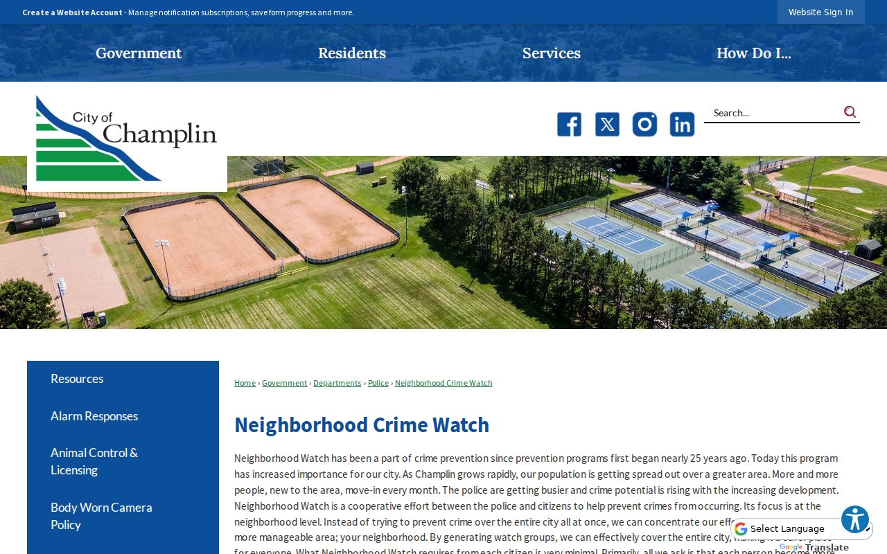
Champlin’s official neighborhood-level civic route is Neighborhood Crime Watch. It gives residents a way to organize by neighborhood and work with the police Crime Prevention Officer. Groups choose a block captain and alternate and meet at least twice each year. That structure is useful community context, but the group member-household lists are not public research material and should neither be sought nor republished.
Neighborhood Crime Watch
City program information
Champlin Police Crime Prevention Officer
763-421-2971
Neighborhood organization and safety coordination, not a member directory.
Community Context
Champlin Residents resources
City-linked schools, library, parks, and community resources.
Use a group’s own public contact route for association questions; no official citywide HOA or block-club roster was located.
The official Neighborhood Crime Watch page explains the civic route available for Champlin block research.
Community participation, a public event listing, or a block-captain role is not evidence that a named person resides at an address. Use public group information for civic contact and keep private membership information private.
Champlin Neighbors Project Context
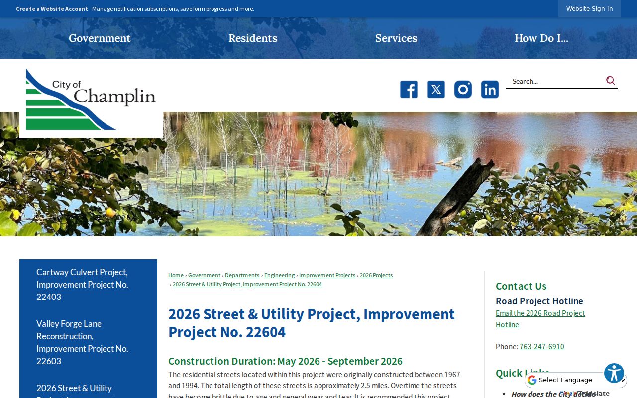
Street projects can explain why a block’s physical record changes. Champlin’s 2026 Street & Utility Project supplies project maps, phases, assessment documents, and a May through September 2026 construction duration. The city says the affected residential streets were built between 1967 and 1994 and total about 2.5 miles. Those documents are useful dated evidence for road work, utility work, and assessment context.
The official 2026 project page provides dated block-change material for Champlin research.
Affected-property letters use project contact information, which is not a public neighborhood list. A project map can show where work occurs, not who owns, occupies, or receives mail at each address.
For older physical changes, Hennepin surveyor sources list historic aerial prints for 1975, 1979, 1985, 1989, and 1994, along with plats, section maps, and custom map ordering. Compare a dated map or aerial with the parcel’s legal description and recorded documents. A structure’s appearance can help date a block change, but it does not identify an owner, a taxpayer, or a household.
Champlin Neighbors Voter Limits
Minnesota’s voter public-information list is controlled by Minn. Stat. §201.091. It may contain specified fields, but inspection requires identification and a signed permitted-use statement. List recipients must be registered Minnesota voters and may use the information only for election, political-activity, or law-enforcement purposes. The list cannot be published as a searchable internet database or transferred or sold contrary to the statute.
| Official layer | Appropriate block-related use | Boundary |
|---|---|---|
| Voter status | A person checks that person’s own registration or polling information. | Not a neighbor roster or address-confirmation tool. |
| Public list request | Statutorily permitted election, political-activity, or law-enforcement use. | Registration, identification, certification, and redistribution limits apply. |
| Precinct or district tool | Understand district or polling assignment. | Does not establish current physical occupancy. |
For Hennepin material, use the county request process or contact Hennepin Elections. Safe at Home participants have confidential voting and a substitute-address program. Never try to reconstruct an actual address from voter, parcel, project, or civic information.
Privacy Limits for Champlin Neighbors
A block lookup may identify adjacent parcels and dated public records, but it should not create a bulk list of current private residents. Do not publish phone numbers, full birth dates, protected voter addresses, Safe at Home addresses, private permit complainants, or Neighborhood Crime Watch member-household lists. Minnesota Government Data Practices Act classifications still apply even when a narrow record is otherwise public.
| Official record route | Commercial neighbor-lookup category |
|---|---|
| Identifies the custodian, record date, parcel, instrument, or civic program behind a claim. | May combine data from different times and sources without showing the underlying custodian or current classification. |
| Allows a record-specific correction, request, or verification with the responsible office. | Can be a lead only; verify each material point with the recorder, county, court, or state agency. |
| Keeps owner, taxpayer, mailing, occupant, and historic listing labels separate. | May blur those categories into a single person profile, so do not treat it as official proof. |
Lawful use. Use a Champlin block search for a specific, lawful personal, civic, or historical question. Do not use public information to stalk, harass, intimidate, or expose protected data.
When a public result needs confirmation, ask the custodian for the narrow underlying record rather than widening the search. Hennepin data-practices requests should identify the record type, address or PID, date range, and preferred format. The county can explain when data are unavailable or protected and can identify the legal basis for a withholding.
Note: Cite the parcel, record date, and custodian for each block finding, then verify an important result with the office that holds the underlying record.