
Champlin Previous Residents by Research Era
Past residents of one Champlin address leave different kinds of evidence in different eras. The earliest trails rely on township labels, legal descriptions, plats, deeds, census schedules, and newspapers. The telephone years add household or subscriber clues. Recent research can begin with the parcel system, but current property information still does not prove occupancy. Use the source that fits the date, then keep owner, taxpayer, subscriber, and census household as separate labels.
| Evidence source | Era it helps cover | Custody or route | What it can show |
|---|---|---|---|
| Deed books, plats, and township records | Pre-1900 and later as needed | Hennepin Recorder, Surveyor, and archives | Land interest, legal description, and rural context |
| Census, early directories, and newspapers | 1900-1934 | Federal and Minnesota historical sources | Household snapshots, names, and dated notices |
| Deeds, tax records, maps, and phone directories | 1935-1959 | County, library, and historical collections | Parcel, subscriber, and address clues |
| MNHS Champlin telephone run and city files | 1960-2005 | MNHS, HCLIB, and Champlin records routes | Directory snapshots, projects, and permits |
| PINS, GIS, RecordEASE, and city project records | 2006-present | Hennepin and City of Champlin | PID linkage, recorded instruments, and address history |
Begin with the address as it exists now. When the question reaches an earlier period, move backward into the original jurisdiction and map wording instead of forcing old evidence into a modern address. The research did not verify a full online cutoff year for RecordEASE or a public Champlin permit-history index, so those gaps need an office, request, or library fallback.
Start Champlin Previous Residents With a PID
Hennepin PINS is the practical start for a modern address. Its address mode uses a house number and street name, with an optional unit. It also supports a 13-digit Property ID and an addition name with optional lot and block. The result categories documented by the county include a PID, legal or tax-parcel description, current and prior tax statements, assessment values, sales information, recently recorded history, and map links. The property database updates on weekdays at about 9:15 p.m. Central Time.
Record the current situs address, the PID, street form, unit, addition, lot, block, and legal description before moving backward. A situs address is the parcel’s physical location. The taxpayer mailing address can be elsewhere, and a taxpayer change form does not transfer title. A current owner or taxpayer field is not a statement of who lives there.
Parcel boundary. Keep owner, taxpayer, mailing address, and occupant as separate source labels. PINS is an address and parcel bridge, not a current resident roll.
For a map check, use the Hennepin County GIS Property Map after normalizing the address or PID. Its dynamic layer menu was not fully exposed in the research inspection. It can still help compare a parcel, subdivision, street, and possible split or merge before the deed search begins.
Follow a Champlin Deed Chain Backward
The Hennepin RecordEASE Public Search is the recorded-land route for previous residents research, but it has a limited free entry point. Broader grantor and grantee searching plus document images are available through RecordEASE Pro, and the county identifies Research Center self-service kiosks as an in-person alternative. The research did not verify the portal’s online start year or a complete public field list. Do not invent a cutoff. When a record is unavailable online, contact the Recorder, use a kiosk, or ask for records guidance.
- Use PINS to save the PID, legal description, addition, lot, block, and recent recorded-history lead.
- Find the current acquisition instrument in RecordEASE by the legal description, PID-related reference, or party information available through the access channel.
- Record the grantor, grantee, recording date, instrument or document number, document type, and image or copy status.
- Search the prior grantee as a buyer in the earlier conveyance, then repeat the process one recorded transfer at a time.
- When a split, merge, plat, easement, or Torrens certificate appears, branch the trail and check plats, GIS, or historic maps before joining it back.
- Grantor and grantee
- The grantor transfers an interest in land. The grantee receives that interest. Either role is about a recorded instrument, not automatic residence.
- Chain of title
- The sequence of recorded interests connected by deeds and related land instruments. It can document ownership history while leaving household history incomplete.
- Legal description
- The formal land description used in recorded documents, plats, or certificates. It is often more durable than a changing street number.
The Recorder / Registrar of Titles is at the County Government Center, 300 S 6th St, Minneapolis, with recording contact at 612-348-5139. The county also lists recordeasehelp@hennepin.us, RecordingInfo@hennepin.us, and recordsrequest@hennepin.us for the appropriate questions. Electronic recording timing is not evidence of historical index coverage.
Champlin Previous Residents Before Street Numbers
Before the 1970 and 1971 consolidation period, a home in the same area may be described as Champlin Township, a village, a rural route, a farm, or a legal description. The official boundary record describes a 5,602-acre consolidation approved March 18, 1970, and city history identifies the 1971 creation of the present City of Champlin. Search those older labels alongside the city name. Preserve the record’s wording rather than silently converting it to a current city boundary.
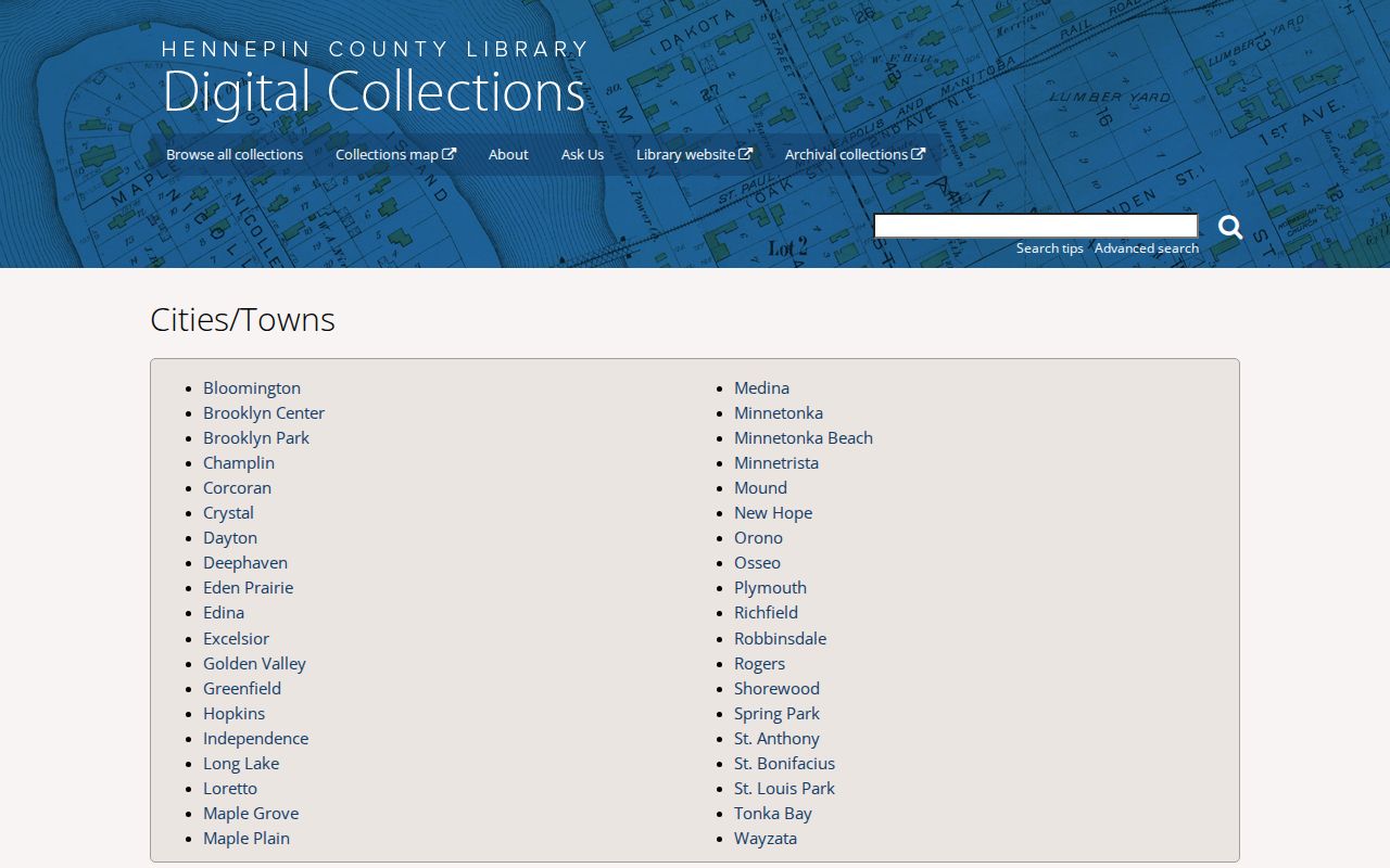
Hennepin County Library’s city index is a discovery route for Champlin maps, newspapers, and local material. For the rural period, the 1914 farmers’ directory and atlas gives landowner and map context, but it is not a universal household list. Use it with deed, plat, and census evidence when tracing who lived here before an address had its later form.
Pair Champlin Previous Residents With Households
Deeds identify an interest in land. They do not name every past resident. The household layer comes from telephone directories, census schedules, newspapers, obituaries, and other dated material. The MNHS finding aid documents a Champlin telephone-directory run from 1960 through 2005, including print, Yellow Pages, and microfiche items. A directory may center a subscriber or household head, so absence does not prove that a person was not in the home. Yellow Pages should be treated as business evidence.
For the collection years, search methods, and request options themselves, use the Champlin City Directory resource. At an address, pair one directory finding with a census, newspaper, or deed date. Federal census records are snapshots at their enumeration dates. MNHS People Records includes Minnesota state census material from 1849 through 1905, and its fields change by year. A census household member can differ from the deed owner, which is often the useful distinction in a past-resident trail.
The HCLIB collection route shown in this image helps locate Champlin city and township material by title and metadata.
Keep each finding in a dated sequence: recorded, directory-listed, census-enumerated, or reported in a newspaper. A readable sequence is stronger than a guessed household history.
Dating a Champlin Address Without Naming Occupants
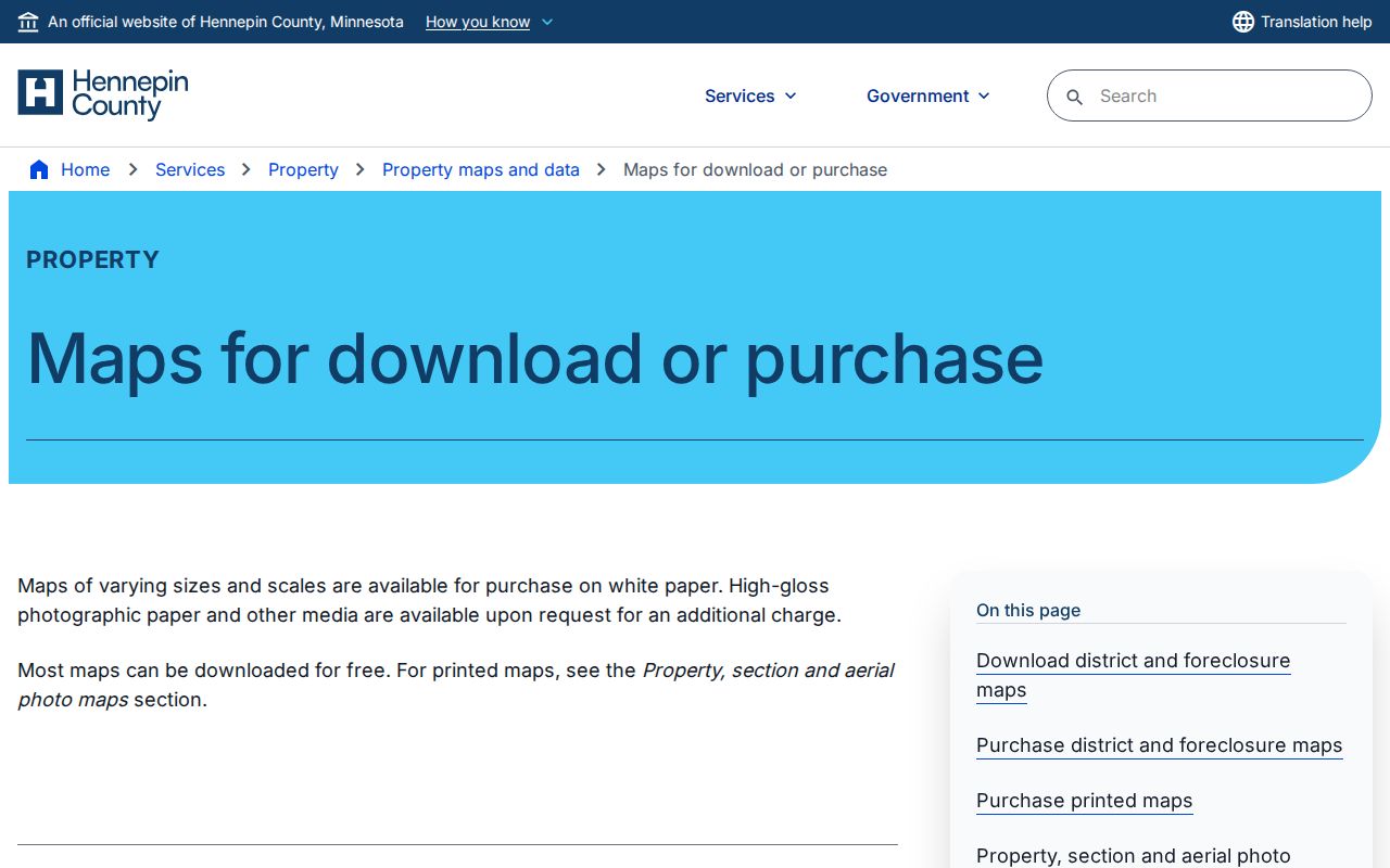
Hennepin County Surveyor maps and aerial ordering can anchor the physical history of a parcel. The county lists historic aerial prints outside Minneapolis for 1975, 1979, 1985, 1989, and 1994. A structure seen in an aerial can establish physical context, but it cannot identify a resident. The Surveyor route also offers plats, section or district maps, custom maps, and order information for an older parcel pattern.
The surveyor source shown here is the image and ordering route for Champlin previous residents research.
City records can add another date marker. Champlin Online Permits is an application route, not a public address-searchable permit-history index. The city’s 2026 street and utility project documents cover roughly 2.5 miles of residential streets built between 1967 and 1994 and describe construction from May through September 2026. Permit applicants, project letters, and assessment documents should be read as project evidence, not as an occupant list.
Resolve Champlin Previous Residents Address Gaps
No official Champlin street-renumbering or street-renaming chronology was located in the research. If an older number fails in PINS or a directory, do not guess the new equivalent. Preserve the original number and street spelling, compare the legal description, addition, lot, block, plat, and historic aerial, then ask Champlin Engineering or Public Works about a specific address question. The city’s official routing page lists 763-451-1955 for addresses, engineering, maps, and street questions.
A precise city request can also seek a dated file through the Minnesota Government Data Practices Act, Minn. Stat. ch. 13. The city’s data-practices policy names clerk@ci.champlin.mn.us as the compliance contact. Ask for a defined record, date range, department, address, and format. The city did not publish a universal historical permit index, and classified or private data may be withheld.
Note: A parcel that stays intact can have many households over time, while a parcel split or merge can interrupt a clean address trail.
Document Champlin Previous Residents Carefully
Finish with a source-labeled timeline. Mark each item as recorded, directory-listed, census-enumerated, reported in a newspaper, or inferred from parcel continuity. Keep the URL or office, access date, issue year, page, PID, legal description, and instrument number with the entry. An obituary or probate file can close a family-history question, but it should not be used to backfill an address without its own date and source.
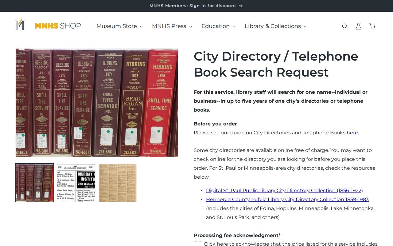
MNHS’s city-directory request provides a staff-assisted route for one person or business, one city, and up to five years, with City Directories, Telephone Books, or both as options. The published price is $20 for both types, its typical response is three to four weeks, and a delay may reach 12 weeks. Confirm the terms before ordering because collection coverage can be incomplete.
The request page shown in this image is a fallback for directory years that are not readily accessible online.
Research past residents for family history, house history, heir work, or personal curiosity. Do not use a record trail to harass, follow, or expose a living person. Protected and private data must remain with the official custodian.